
Site plan on a live map
Upload a site plan PDF or image and calibrate it over live satellite, street or hybrid mapping with 3 reference points. It stays pinned while you pan, zoom and rotate.
Make a site logistics plan in your browser, with no install. Upload your site plan PDF, drop it on the map, mark up cranes, equipment, fencing, routes and any other jobsite detail, then export a print-ready PDF.
Works best on a laptop. Email yourself the link.
The Basic plan is free, with watermarked PDF export. 30-day Pro trial, no card needed.
See how it works ↓ Watch example videos
Formerly Easy Logistics Planner (ELP). This page is worded for readers in the United States. In US format, the app shows feet and inches, 11×17 in and 24×36 in sheets, and MM/DD/YYYY dates. Works in your browser, no install. See pricing. International version.

EasySiteSI is a browser-based site logistics planner built by Pareto Way Consulting. You put your site plan PDF or image on a live satellite, street or hybrid map at true scale, place cranes with their lift radius, equipment, trailers, fencing, barricades, gates, signage and traffic routes, then export a print-ready PDF (on Pro, a sheet for each phase). It's made for planners across construction, infrastructure, logistics and events, and there's nothing to install. The Basic plan is free, with watermarked PDF export, and you can start a 30-day Pro plan trial with no card needed.
Watch the example videos · EasySiteSI on YouTube
Learn more
How it works
Open the app, drop in your drawing and start planning. There’s nothing to download or install.
Add your site plan as a PDF or image, then set the scale: measure a known distance, type the drawing scale, or pin the plan to a live satellite, street or hybrid map with 3 reference points. Once it’s pinned, it stays in place while you pan, zoom and rotate.
Drag or click true-size cranes, excavators, trailers, vehicles, fencing and signage onto the plan, then add arrows, dimensions, callouts and hatching.
Export a print-ready PDF. In US format, 11×17 in and 24×36 in sheets are listed first; A1, A3 and A4 are still available. Basic exports carry a light watermark. With Pro, organize everything into project phases and export a print-ready PDF – complete with legend, logo and north arrow. The title reads Site Logistics Plan, and in US format the title-block date is MM/DD/YYYY.
Features
Built for the way site logistics plans are actually put together – fast, visual and to scale.
Upload a site plan PDF or image and calibrate it over live satellite, street or hybrid mapping with 3 reference points. It stays pinned while you pan, zoom and rotate.
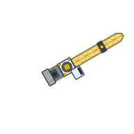
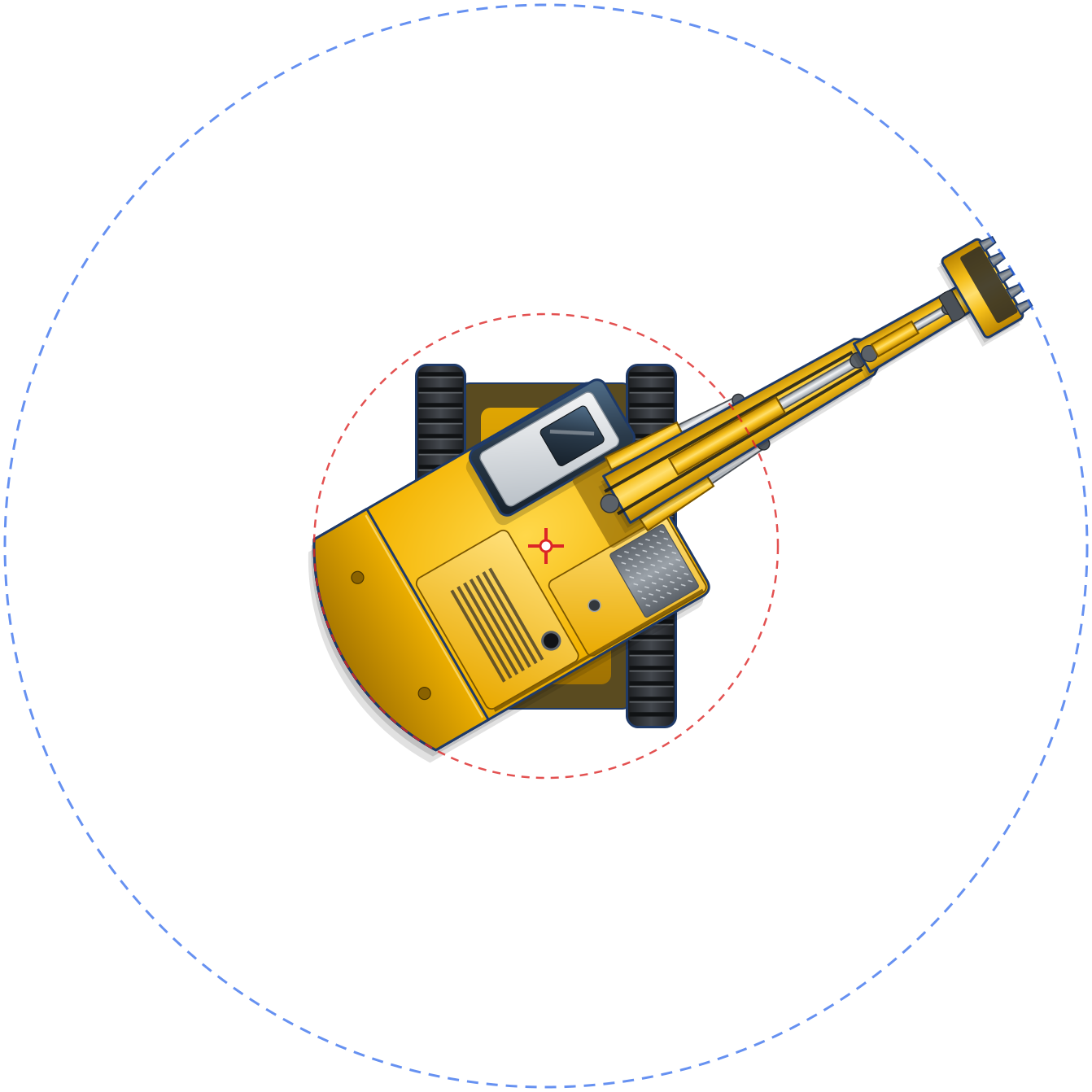
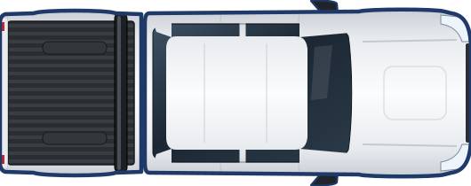
Tower and mobile cranes with slew rings and lift radius, excavators, trailers and containers, cars and pickups, trucks, fencing, barricades, gates and signage. Drag or click to place.
Arrow lines, rectangles, dimensions, text and leader callouts, and hatching to mark up access routes, zones and exclusion areas.
Assign objects to phases. Show only what's active in each phase — track how the jobsite evolves over time.
Export a logistics sheet with legend and north point. In US format, 11×17 in and 24×36 in sheets are listed first; A1, A3 and A4 are still available. Basic exports are watermarked; Pro gives clean sheets per phase with title block, company logo, the title Site Logistics Plan and MM/DD/YYYY dates. Ready for the jobsite notice board or bid submission.
Save your work as an EasySiteSI file and open it again whenever you need to revise the plan.
Equipment library
Place equipment straight onto the calibrated site plan and see what actually fits – crane slew rings and lift radius included. In US format, lengths show in feet and inches and areas in square feet. Switch anytime with the Units: ft | m control in the status bar; nothing on the plan moves.

Who it’s for
EasySiteSI is built for superintendents and project managers, site logistics planners, builders and estimators, event and festival organizers, and infrastructure and logistics teams. It runs in a web browser on a laptop or desktop computer, so there’s nothing to install.
In use today: site teams use EasySiteSI on real projects, and university students in Ireland use it for coursework.
What you can plan: crane and lift planning, trailers and compounds, fencing, barricades and gates, deliveries, laydown areas and site traffic routes, and event and festival layouts. The satellite maps cover most countries, and you can also upload your own site plan and calibrate it with 3 reference points.
Phases Pro
Site logistics change as the job progresses. Break your plan into phases and produce a sheet for each one. Phases are part of the Pro plan.
Site establishment, trailers, fencing and access.
Cranes, laydown and delivery zones.
Equipment and access for the envelope and services.
Material handling and internal logistics.
Landscaping, paving and final access.

PDF export
Companion tool
Capture and annotate a screenshot with EasySnipSI, then send it to EasySiteSI to use in your plan. Learn more about EasySnipSI
Know the limits
EasySiteSI does one job well: a clear, to-scale site logistics plan. Here’s what it doesn’t try to be, so you can use the right tool for each part of the job.
EasySiteSI works in 2D plan view over aerial imagery. Keep your BIM and 3D tools for models, coordination and clash detection, and bring a plan view into EasySiteSI for the site logistics sheet.
Crane slew rings and lift and no-lift zones show where a crane reaches over the jobsite and the surrounding area. They don’t check capacities, load charts, ground conditions or lift plans; those stay with your crane supplier and engineers.
EasySiteSI marks up the drawings you already have and exports PDF sheets. It isn’t built for design drafting or construction documentation. If you work in CAD, the Pro plan can import DXF files.
A site logistics plan from EasySiteSI helps you brief your team and support a submission. It doesn’t replace the permits, engineering advice or authority approvals your project needs, so always check what each authority requires.
Pricing
EasySiteSI works in your browser, no install. The Basic plan is free, with watermarked PDF export, or you can start with a 30-day Pro plan trial.
US$0Essentials for a single sheet
US$18 per user per monthor US$179 per user per year
No card needed for the trial. After 30 days you move to Basic unless you subscribe. Cancel anytime in the app via Manage subscription; Pro stays active until the end of the paid period.
Prices are in US dollars.
Your projects stay on your own computer as EasySiteSI files, even when you’re signed in. Your account only holds your email and plan details, never your drawings.
Subscriptions auto-renew. Cancel anytime. See the Terms and Privacy Policy.
What’s new
We release improvements often. Here’s what changed most recently.
FAQ
EasySiteSI is browser-based site logistics plan software made by Pareto Way Consulting. You drop a site plan PDF onto aerial imagery at true scale, place fencing, cranes, trailers, gates, walkways and parking, then export a print-ready PDF. There's no CAD and nothing to install. EasySiteSI was formerly called Easy Logistics Planner (ELP).
The easiest way to draw a site logistics plan is with EasySiteSI, which runs in your web browser with no CAD and no install. Drop your site plan PDF or image onto aerial imagery and calibrate it to true scale, then drag true-size fencing, cranes, trailers, gates and vehicles onto the plan. Add callouts and export a print-ready PDF.
No, EasySiteSI lets you make a site logistics plan without CAD, starting from a PDF, PNG or JPG of your site plan. All the markup happens in your browser. If you do have CAD drawings, the Pro plan can import DXF files; save a DWG as a DXF from your CAD software first.
You can use EasySiteSI, a site logistics planner that runs in your web browser with no CAD and nothing to install. Upload a PDF or image of your site plan, calibrate it to true scale on a satellite map with 3 reference points, then place cranes, trailers, fencing, gates and site traffic routes and export a PDF. The Basic plan is free, with watermarked PDF export; clean PDF exports are part of the Pro plan. Cranes, trailers and other Pro objects are part of the Pro plan: your first Pro object is complimentary to place, and the 30-day Pro trial, with no card needed, unlocks the rest.
Yes. In EasySiteSI you upload a PDF, PNG or JPG of your site plan and calibrate it onto a satellite map with 3 reference points, so the drawing sits at its real size and position. You then mark up cranes, fencing, trailers, gates and routes on top and export a PDF. The Basic plan is free, with watermarked PDF export, and covers one sheet; clean PDF exports are part of the Pro plan. Cranes, trailers and other Pro objects are part of the Pro plan: your first Pro object is complimentary to place, and the 30-day Pro trial, with no card needed, unlocks the rest.
Yes. EasySiteSI is a browser-based site planning tool that puts your site plan on a live satellite, street or hybrid map at true scale. The satellite maps cover most countries, and you can also upload your own plan and calibrate it with 3 reference points. You draw true-size cranes, equipment, trailers, fencing and site traffic routes over the plan and export PDF sheets. The Basic plan is free, with watermarked PDF export; clean PDF exports are part of the Pro plan. Cranes, trailers and other Pro objects are part of the Pro plan: your first Pro object is complimentary to place, and the 30-day Pro trial, with no card needed, unlocks the rest.
Open EasySiteSI in your web browser, search for the venue address or upload a venue plan, and lay out the event on a satellite map at true scale. Trace the perimeter fencing to see its length and panel count, add gates, toilets, first aid, generators, lighting towers and walkways, and draw marquees, stages and stalls as labeled areas. The Basic plan is free, with watermarked PDF export. The Pro plan gives clean PDF exports and separate sheets for bump-in, the event and bump-out.
Yes. Students can use EasySiteSI in a web browser to draw site logistics plans for coursework and assignments, with nothing to install. The Basic plan is free, with watermarked PDF export, and includes one sheet, calibration and the drawing tools. A 30-day Pro plan trial, with no card needed, adds phases, multiple sheets and clean PDF exports.
In EasySiteSI you place a true-size tower or mobile crane on your calibrated site plan, set its lift radius and see exactly where it falls over the jobsite boundary and the surrounding area. Cranes show their slew ring, and you can split the slew into lift and no-lift zones. The library also has crawler and pick-and-carry cranes.
Yes, EasySiteSI draws trailers, containers, toilets, fencing, barricades, gates, vehicles and parking at true size on your calibrated site plan, so the layout matches the real jobsite. When you trace a fence line, EasySiteSI shows its length and panel count. You can then group the fencing in SITE OBJECTS so it moves and edits as one.
Yes, EasySiteSI lets you draw a site traffic layout with delivery routes, pedestrian walkways and other Routes & Access lines, plus gates, signage, fencing and parking. Export it as a PDF to brief your team and visitors. Check with your local authority what it needs for any formal traffic approvals.
EasySiteSI is built for the people who plan jobsites: superintendents and project managers, builders and estimators, site logistics planners, event and festival organizers, and infrastructure and logistics teams. Site teams use it on real projects, and university students in Ireland use it for coursework.
The Basic plan is free, with watermarked PDF export, and covers one sheet, calibration, drawing tools, the legend, and saving and opening EasySiteSI files. You can start with a 30-day Pro plan trial with no card needed. When the trial ends you move to the Basic plan automatically and nothing is charged. Pro is US$18 a month or US$179 a year, per user. Prices are in US dollars.
Yes, EasySiteSI runs in a modern web browser on your laptop or desktop computer, with nothing to download or install. If you like, click Install app and it opens in its own window with its own icon. Your projects stay on your own computer as EasySiteSI files; your account only holds your email and plan details, never your drawings.
Yes, EasySiteSI exports print-ready PDF sheets. In US format, 11×17 in and 24×36 in are listed first; A1, A3 and A4 are still available. Sheets have a legend and north arrow. Basic exports carry a light watermark. Pro gives clean sheets for each phase, with a title block, your company logo, the title Site Logistics Plan and, in US format, MM/DD/YYYY dates.
Yes, EasySiteSI Pro lets you assign objects to project phases, such as mobilization, structure, facade and services, fit-out and external works, and export a sheet for each phase. Click a group in SITE OBJECTS to select its objects, then tick the phases they should show in.
Yes, you can open an EasySiteSI sample site plan in your browser at https://paretoway.com.au/app/?sample=1. It's an example site plan, already calibrated to scale on the map, so you can try adding trailers, cranes, fencing and routes before you start your own. Cranes and trailers are Pro objects: your first one is complimentary to place, and signing in for the 30-day Pro trial, with no card needed, lets you place more. You can also watch the full walkthrough video or the step-by-step clips on the example videos page.
Your plans stay with you. EasySiteSI processes your site plans and drawings in your browser and saves projects on your own computer as EasySiteSI files, with a local autosave and your last saved copy in your browser’s storage on your device. Your drawings and EasySiteSI files aren’t uploaded to Pareto Way Consulting’s servers, and your account only holds your email address and your plan and subscription details. A few things do leave your browser: the map loads tiles from Esri and address searches go to a geocoding service, so the location you view or search is sent to them; usage analytics record how features are used, not your drawings or the map, and you can turn them off in Help; and if you send feedback, we receive your message, the map location and any screenshots you choose to attach. A view-only file (Pro) is saved to your computer for you to send, and a share link carries the plan inside the link itself, so anyone with the link can open the plan. Project files on your computer and in your browser’s storage are under your control, and you can delete them at any time. See the Privacy Policy.
EasySiteSI runs in a current version of a modern web browser on a laptop or desktop computer, with nothing to download or install. Where your browser supports it, you can click Install app to open EasySiteSI in its own window with its own icon. The quickest way to check your own setup is to open the sample plan.
The satellite map in EasySiteSI uses Esri’s World Imagery basemap, credited in the app as Esri, Vantor, Earthstar Geographics and the GIS User Community, and the street map uses Esri’s World Street Map. Imagery capture dates vary by location and aren’t set by EasySiteSI, so the map may not show recent changes on your site. Where the most detailed imagery isn’t available at your zoom level, EasySiteSI shows the most detailed imagery there is, enlarged. Your calibrated site plan sets the layout, so check it against current site conditions before you rely on it.
Yes, by sharing files. Your plans aren’t stored in the cloud, so there’s no shared online workspace. Export a PDF for anyone to view or print, or send the EasySiteSI file to a colleague so they can open it in EasySiteSI and keep working on it. On the Pro plan you can also export a view-only file: a web page that opens in a browser, where people can zoom, pan and switch phases but can’t edit. Pro is priced per user, so each person who uses Pro needs their own subscription.
No, EasySiteSI needs an internet connection. The satellite and street maps and the address search come from online map services, so the map can’t load without a connection. Your saved EasySiteSI files stay on your computer, so you keep your work and can open it again once you’re back online.
Yes. Site teams in many countries use EasySiteSI, and the app has a US format with feet and inches and US sheet sizes. The satellite maps cover most countries. Address search may not find every overseas address, so you can also upload your own site plan and calibrate it with 3 reference points. Prices are in US dollars. DXF drawings (Pro) are calibrated with 3 reference points, just like a PDF.
Hear about new features, fixes and tips as each release goes out.
Open EasySiteSI in your browser and start with your own site plan. It works in your browser, no install, and you start with a 30-day Pro plan trial.
Found a bug or have an idea? Send feedback (with screenshots) from the Feedback button in the app, or get in touch via paretoway.com.au.